Arvigrat circular hike
| Length | Ascent | Descent | Minimum height | Maximum height | Approximate duration |
|---|---|---|---|---|---|
| 7.76 km | 674 m | 676 m | 1398 m | 1993 m | 1:00 h |
Angela with Belina - Insta @elo_belina (from 04.07.23):
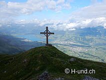
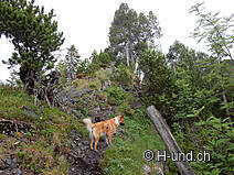
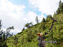
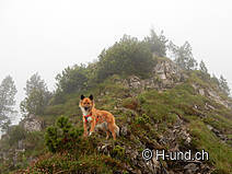
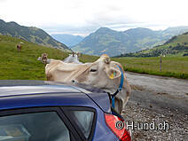
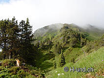
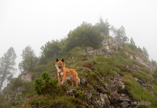
At the parking lot Belina and I started our hike accompanied by some curious dairy cows. The path is well signposted and so we turn after a short time on a meadow path. From then on we go uphill into the Arvi forest. We dive into a diverse nature with different flowers, bushes and shrubs. The path is steep and surefootedness is required. As soon as the Arviwald is behind us, we catch the first rays of sunlight and for a short moment a wonderful view. Then the fog moves in and envelops us completely. The hoped-for view from the Arvigrat is missing. On the descent to the Arvikreuz, the weather surprises us with the breaking of the clouds. We take a break at the Arvikreuz and enjoy the magnificent view. The efforts were more than worth it. Via an alpine meadow and the Heitletswald we finally hike back to the starting point of this extremely varied hike.
INFO: The road to the starting point of the hike will be rehabilitated until 31.10.23. Therefore, the road is closed during the week from Monday to Friday from 7:00 to 12:00 and from 13:00 to 17:30. So you have to drive up before 7am and back at 12pm if you want to do the hike during the week. On weekends the road is open all day.
More info HERE


