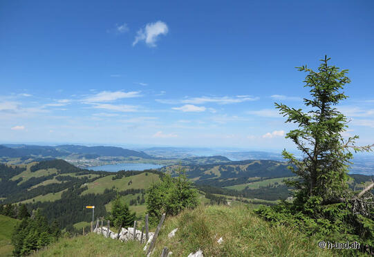
Chli Aubrig, from Satteleggpass

| Length | Ascent | Descent | Minimum height | Maximum height | Approximate duration |
|---|---|---|---|---|---|
| 12.17 km | 814 m | 499 m | 1181 m | 1632 m | 4:15 h |
Nadine and Marco with Nemesis, Paula, Billy & Dina (from 15.07.18):
From the Satteleggpass parking lot we started our hike towards Chli Aubrig, past a small chapel the path leads high up. We have the destination of Chli Aubrig almost the whole way in front of us.
The hiking trail is well signposted and the paths are partly gravel roads, partly footpaths or over rough and smooth through the forest. Although we were on our way on a sunny Sunday we did not see many other hikers.
The trail went steadily uphill, and as we crossed friendly cow and goat pastures we enjoyed the view of the Sihl lake and the village of Willerzell again and again. At the top you can admire a mad panorama, on one side the Zurich Oberland including Lake Zurich, Greifensee and Pfäffikersee and on the other side a beautiful, endless mountain panorama. After a break and some food for us and our 4 terriers on the summit we made our way back to Sattelegg. But since we didn't want to take the same way back we circled the Chli Aubrig and reached the parking lot via an enchanting path through the beautiful nature (forest, moor, alpine meadows).
The gallery does not contain any pictures yet


