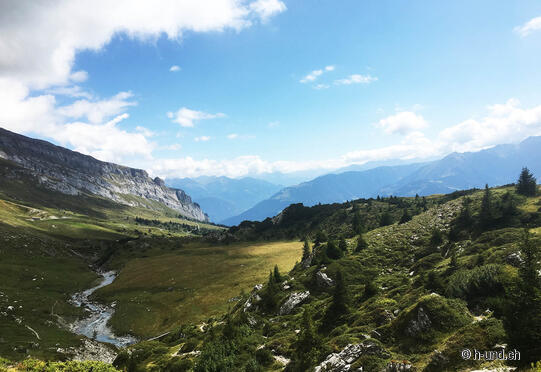
Flimser waterway - Trutg dil Flem

| Length | Ascent | Descent | Minimum height | Maximum height | Approximate duration |
|---|---|---|---|---|---|
| 10.09 km | 1132 m | 260 m | 1095 m | 2102 m | 4:15 h |
Sandra L. with Irwina and Kaluori (from 01.09.18):
For parking I spontaneously decided to drive to the end of the village seen from Chur. I followed the main road to the cable car station Flims ( 1100m) where the entrance is well marked with a big banner between the two cable cars.
The route is marked No.764. Via zig-zag paths, with many roots, you quickly gain height. surefootedness of the 2 and 4 legged ones is very important, especially in the lower part. As is estimating where to put the dogs in the water. In Stargels (1590m) I allowed my 2 huskies and me a cafe break.
Before we started the ascent further, up to the Segneshütte, the highest point of this tour ( 2102m ). Shortly I had to orientate myself there. And then fortunately saw the bigger signpost at the hut itself, where we had to leave Route 764 and follow the path towards Alp Nagens ( 1980m) where we had a short break before we went down by bus to Laax.
From Laax we went via Staderas, sports centre and Waldhaus back to the car
With 2x café break
bus ride we were 6 hours on the way
but this with 2 train dogs!
The gallery does not contain any pictures yet


