Stammerberg circular hike

| Length | Ascent | Descent | Minimum height | Maximum height | Approximate duration |
|---|---|---|---|---|---|
| 11.77 km | 322 m | 322 m | 471 m | 618 m | 3:00 h |
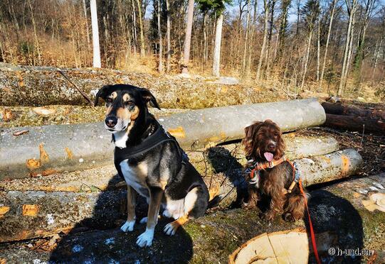
Elvira & Amigo , Tina & Boomer (from 28.02.21):
At the cemetery parking lot, near the Reformed Church Unterstammheim, begins our round hike. There you can park easily. First you go through the vineyards, then turn left and right again at the Schützenhaus and then on a curve around the Stammerberg. Shortly before Bleuelhausen a forest path (hiking trail sign is well hidden in the trees) goes right up the Stammerberg. From there on you can simply follow the hiking trail signs. There are countless possibilities to get back to Unterstammheim.
The gallery does not contain any pictures yet
Rating
0


