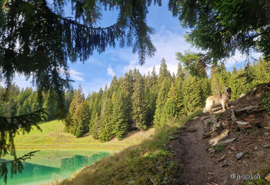
Vella circular hike

| Length | Ascent | Descent | Minimum height | Maximum height | Approximate duration |
|---|---|---|---|---|---|
| 10.79 km | 558 m | 558 m | 1248 m | 1712 m | 3:30 h |
Livia with Kaya (from 23.10.23)
From the post office stop, the route leads past the Sogn Roc chapel up to the upper edge of the village of Vella. Shortly after the last farm, the dirt road branches off in the direction of Triel. At Nulens, the trail crosses the forest and then continues as a hiking trail up through the Uaul Quader. We continue towards the Triel middle station, from where we have a magnificent view of the entire Val Lumnezia.
We really want to see the "Plaun Lom" reservoir (1699 m above sea level), so we are happy to take on the extra 30-minute climb. We walk back the same way to Cresta. Via Davos Munts (small lake/campsite) the road leads us back to the starting point in Vella.


