Weggis Helsana Trail
| Length | Ascent | Descent | Minimum height | Maximum height | Approximate duration |
|---|---|---|---|---|---|
| 5.96 km | 164 m | 164 m | 435 m | 511 m | 1:30 h |
This beautiful round trip in Weggis we start near the traffic circle, there is public parking for a fee. Few parking spaces (blue zone) directly at the Thermoplan Arena. Other public paid parking a few minutes walk from the start
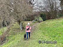
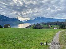
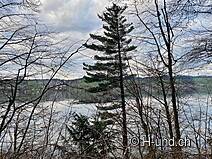
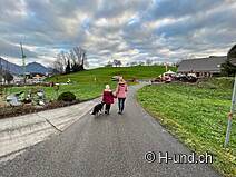
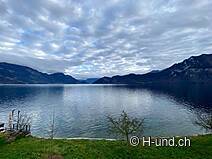
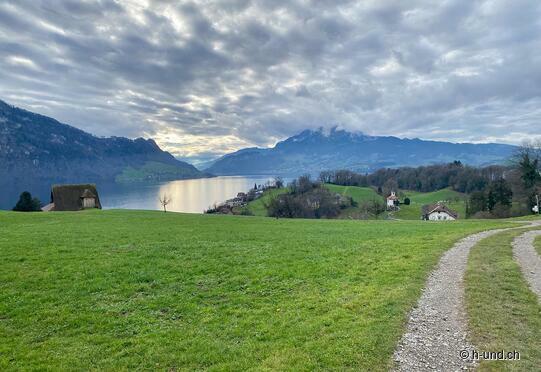
Now we walk in the direction of "Zopf", then always along the green signs of the "Helsana Trail". Past a farm, then across a field, we soon arrive at the bottom of the beautiful Lake Lucerne. We walk along the little used road until we reach the boat station in Hertenstein. The panorama of the lake and the surrounding mountains is unique.
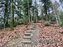
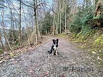
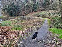
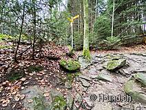
Afterwards we walk uphill for a short distance. After a while we reach the "Herrenwald", where we gain height over stairs and roots. An almost fairy-tale picture with a small pond opens up to us. We then cross the Vitaparcours, where leashes are compulsory for dogs. Through the trees we have from now on the lake in view. Via a dirt road we return to our starting point.


