Rheinau-Winterthur

| Length | Ascent | Descent | Minimum height | Maximum height | Approximate duration |
|---|---|---|---|---|---|
| 27.59 km | 414 m | 328 m | 347 m | 618 m | 6:45 h |
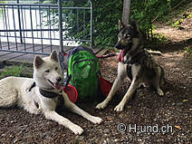
Sandra Lussmann with Irwina and Janto (from 27.5.18):
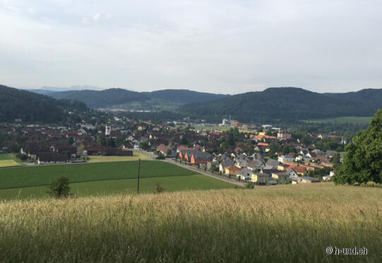
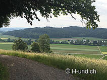
We started at the Stadtkirche in the centre of Winterthur. Continuing along the Schaffhausen-Züri-Weg, which marks the whole route, you reach Neftenbach with a few stairs. This was followed by a section along the edge of the forest until shortly before Buch am Irchel, with some beautiful views as far as the mountains.
In Buch I took my first café break. And was surprised to have to pay only 3sFr for this one.
On easy descents I went towards Flaach, where you could easily camp on the TCS camping site.
The recurring wells regularly cooled down my huskies. But the many asphalt roads were less of a joy. All the more we enjoyed the part of the trail in the Thurau nature reserve, which ends shortly before Ellikon on the Rhine.
To our joy we continued on root paths for a while, before we reached Rheinau on a sunny hard surface.
As I started the tour at 6.30am I allowed us a boat trip to the Rhine Falls (timetable under www.schiffmaendli.ch).
It took us 7.5 hours including 2 breaks
My choice to start this part of the run in Winterthur was highly recommended as far as the position of the sun was concerned. 2/3 of the route hard surface.


