Jaunpass over the Hundsrügg to Zweisimmen
| Length | Ascent | Descent | Minimum height | Maximum height | Approximate duration |
|---|---|---|---|---|---|
| 14.81 km | 663 m | 1222 m | 941 m | 2047 m | 4:45 h |
Franziska with Elly (from 07.07.24):
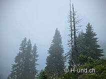
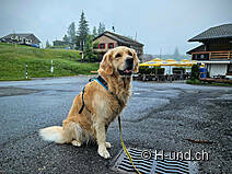
Early in the morning, we were still not sure where our hike would take us today. Only one thing was certain, the starting point would be in the Jaun region. After an entertaining train ride on the Golden Pass Express from Interlaken (with lots of cuddles for Elly from delighted Asian tourists and now on her way to becoming a dog photo star), we change to the TPF bus in Boltigen and drive up the winding road towards the Jaun Pass. We hope to catch a glimpse of sunshine somewhere, but the fog around us only gets thicker. So my decision is quickly made - in dog weather on the Hundsrügg, that fits perfectly. And we are already hopping off the bus at the Jaunpass restaurant stop. In fine weather, it's a popular meeting place for hikers and motorcyclists, but today we're the only ones up here.
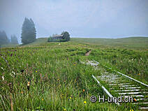
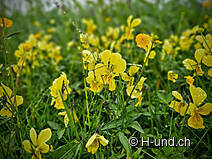
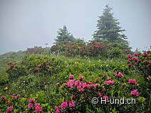
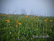
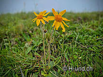
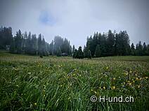
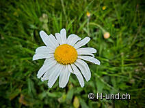
Quickly lace up our hiking boots, put on our longline and we're on our way through the wonderful, mystical moorland of the Jaun region, the Chlimoos, shrouded in mist, up towards the summit. Today we don't have a view of the surrounding mountains, which you can enjoy in fine weather. All the more reason to marvel at the diverse alpine flora. Arnica, alpine roses, orchids, bluebells, daisies and many other types of flowers as far as the eye can see. The droplets of water that the mist deposits on the meadows create a wonderful, fairytale-like picture.
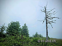
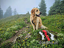
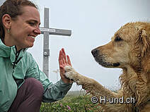
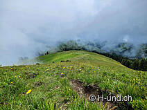
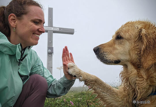
Elly is glad the sun is staying away today. It would soon have become too hot for her with her long coat. After a short stretch of tarmac road at the start, the ascent to Hundsrügg takes us along well-signposted meadow paths, but without any trees to provide shade. This tour is therefore not recommended for a midsummer's day with a dog. After approx. 2h. We now stand at the top of Hundsrügg at 2047 m above sea level. Instead of a wonderful view, we enjoy the spectacle of the fog dancing through the air and over the mountain ridge. I could watch this for a long time, but we still have a long descent ahead of us. So after a short rest, fortified with a small picnic and with the obligatory summit photo on our cell phones, we set off in the direction of Sparenmoos and continue down into the valley to Zweisimmen. The first section of the descent is very steep and leads partly over alpine meadows with herds of cows, but we can easily avoid them.
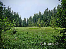
After 30 minutes, we reach Sparenmoos. The Sparenmoos is a moorland area and lies on a high plateau above Zweisimmen. It is a great area for hiking and snowshoe tours in both summer and winter. It should be noted that this is a nature reserve and dogs must be kept on a lead.
The hiking trail leads us across the moor over a few footbridges, which Elly passes with flying colors. If necessary, these footbridges can be bypassed via the paved road not far from the hiking trail. After another 30 minutes we reach the Sparenmoos seminar house. For all those who have now had enough of the descent, from here on Wednesdays, Saturdays and Sundays it is possible to take the hiking cab down into the valley. If you would like to use this cab service, you must register for it at the tourist information point in Zweisimmen by 5.00 pm the day before.
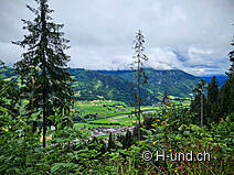
However, the two of us continue on foot for another 1 ½ hours towards the valley. The path becomes flatter and is now lined with shady trees until above Zweisimmen before it finally leads us briefly along a paved road through the village to the end point of our hike, Zweisimmen railroad station. Tired but satisfied, we get back on the train here and travel back to Interlaken via Spiez.
Further tips/travel by car: Park your car at Zweisimmen railroad station (charge applies) and travel to the Jaun Pass by train and bus via Boltigen.


