Flüeli-Ranft-Brienzwiler

| Length | Ascent | Descent | Minimum height | Maximum height | Approximate duration |
|---|---|---|---|---|---|
| 28.13 km | 872 m | 954 m | 469 m | 1079 m | 8:00 h |
Andreas and Joschika with Brenes (from 11.05.2018):
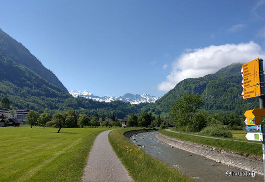
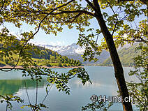
We start our first 2-day hike with Brenes in Flüeli village. This is also the place where the birthplace and home as well as the chapel of the Swiss national saint, Niklaus von Flüe "Brother Klaus" (1417 - 1487) is located. In Flüeli we first pass the Borromean chapel built on a hill and soon we find ourselves on a forest and meadow path which leads us down to Sachseln on the Sarnersee. The path along the lake offers bathing dogs access to the lake again and again. Unfortunately, the railway line runs right next to us and every few minutes a train passes us, which is definitely less beautiful. So we are not angry, we can leave the shore path. After a few hundred meters along the Brünigstrasse we find ourselves again on beautiful hiking trails along the Laui. Here the valley opens up and offers a view of the "Berner Hörner". What a great view! Soon we have also left Giswil behind us and here the first ascent of the day begins. On a beautiful forest path away from the main road we climb up towards Lungernsee. We have to cross the Brünigstrasse once and partly walk along the Brünig railway line for a short time. (Attention: grating on the way which cannot be avoided!) At the top the path passes the alp "Sommerweid" before we reach Kaiserstuhl after 14km. We look for a nice, shady place for our lunch break and enjoy the wonderful scenery.
We continue on the western side of the Lungernsee along a beautiful hiking trail. Here there are always wonderful picnic areas, some with toilets. However, access to the lake is not possible after winter due to the low water level. Once in Lungern, it is also worth taking a look back: Because behind us the Dundelbach waterfalls thunder over the rocks into the valley. Shortly afterwards the ascent to the Brünig begins. Once again we cross the Brünig Pass road and walk a few hundred metres along the Brünig railway line. Nevertheless, this is a beautiful, fortunately shady path through wild forest and along rugged rocks. In a wide arc we hike over an alp and pastures. Passing the "Naturfreundehaus Brünig" we return to the main road which brings us to the top of the pass. Here the stage would actually end with 25 km. But we have decided to take the path down to Brienzwiler under our feet and paws today. After a break in the Brünig Kulm, we continue over an alp and through a fairytale forest up again to the highest point of the day, before descending steeply again shortly afterwards. The descent to Brienzwiler is a tough one. Here concentration, good footwear and surefootedness are required, as the descent is steep on loose ground. Once we reach the bottom, we are immediately enchanted by the pretty, traditional Brienzwiler with its old but well-kept little chalets. Here in the village shop you can refill your supplies or simply get a cool drink. Now we still have a few hundred metres to go to our accommodation, the Buurehus Eichhof. We get a warm welcome and for Brenes there is already a big dog bed ready, which he takes immediately. After a refreshing shower we enjoy a hearty Rösti for the night.


