Merligen-Thun
| Length | Ascent | Descent | Minimum height | Maximum height | Approximate duration |
|---|---|---|---|---|---|
| 16.61 km | 677 m | 667 m | 559 m | 863 m | 5:00 h |
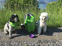
Babs with Toya and Manuela with Dayko (from 11.05.18):
Starting in Merligen we first had to orientate ourselves, because it has many different signposts, some of them with the same numbers. Therefore always look for the sign "viaJakobi".
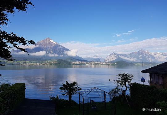
At first we were a little bit disappointed, because everything went along the road and through the high screens there was no view to the lake of Thun possible. But that changed after about 20 minutes and we went up on a nature trail. From now on we had a great view of the lake and the Alps! With the sun on our backs and happy dogs, who were also happy to have grass under their paws again, we ran a good distance towards our goal.
After a comfortable hike it was time to get the pulse of dog and mistress up to speed. It was time to gain some height, and this in the form of steps. Towards the end of the walk, the stairs became quite long and we had the feeling that the dogs, unlike us, had no problems in coping with this. However, this section is not very suitable for people with knee problems or those who have an aversion to stairs.
At the top you can see one of many beautiful dry stone walls. Along the way there are many such walls, which provide a great habitat for many local animal/plant species. We could watch many lizards sunning themselves on the walls. The snake, which is also a local, did not show up at this time of day.
From time to time through the cool forest, but then again through densely populated villages we arrived in Oberhofen. In the center of the village there is a telephone booth converted into a book exchange. So if you like to read, you might want to take your old books that you don't read anymore on this tour, or a big enough backpack for "new" books.
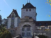
In Oberhofen we had a coffee break at the castle. With very polite service and a great view we could recharge our batteries!
It is not recommended to visit the castle park after the coffee, although there are no signs, dogs are not allowed.
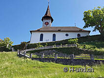
The path offers again many beautiful sights with different small churches which are built in the slope, and it still has a cultural garden, which we did not want to look at closer after the meeting with the castle dragon in the castle Oberhofen!) The last part of the trip went directly along the lake where we finally arrived back in the city of Thun via the old wooden bridge.
It's a nice hike with many different surfaces, but we found that it was very often over asphalt, since a large part of the route goes through villages. On the way there are also many possibilities to eat and drink, because there are many restaurants, but also many shops, from village shops and bakeries to Migros and Coop!
Altogether the route is 15.8 kilometers long and we had 4 hours and 56 minutes.


