Zernez-Scalettapass
| Length | Ascent | Descent | Minimum height | Maximum height | Approximate duration |
|---|---|---|---|---|---|
| 21.32 km | 1014 m | 47 m | 1471 m | 2440 m | 6:00 h |
Pius and Miriam with Gypsie and Mia (from 26.05.18):
At the train station in Zernez we start today's leg at 9.40 am. In glorious sunshine and pleasant temperatures we hike the first kilometre on an asphalt side road along the right bank of the Inn. Afterwards a gravel path leads steadily and slightly upwards over meadows and cow pastures until we reach a bench after an hour, from where we have a beautiful view of Brail. This small village belongs geographically to the Lower Engadine, but linguistically and culturally it already belongs to the Upper Engadine. After a short break we walk down the slope, pass Brail and arrive at a construction site at the end of the village. There we follow the Jakobsweg signpost, but unfortunately, as we later discover, it points slightly in the wrong direction. For this reason we walk the next half hour on a wrong path, which leads us through the forest. The right path would go along the Inn. At the next settlement Cinuos-chel we are then again on the Way of St. James. From there we walk a short stretch along the main road, cross the railway and find ourselves on a tarred road that runs a little below the railway line. On the left side you always have a nice view of the Inn. After that, an asphalt road leads through pastures and meadows with various flowers along the Vallember stream to Chapella. After this settlement with its 100 inhabitants the Val Susauna, a side valley of the Upper Engadine, begins. It stretches over a length of 10 km to the Scalettapass, our stage destination today. Those who would like to spend the night nearby can continue on from Chapella another 3.5 km to S-chanf. The next day, however, one has to go back the same way.
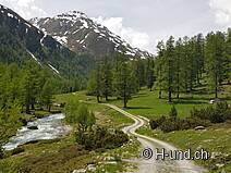
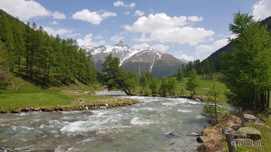
From Chapella we continue walking over lush pasture land and after about 20 minutes we reach the temporary settlement Susauna, the only village in the Val Susauna. Here, more than 20 people live during the summer, most of them speak the Rhaeto-Romanic dialect Puter and are mainly of Reformed denomination. After Susauna we hike on a forest path through the beautiful valley, always along the river Vallember. The valley fascinates us with its rugged beauty and remoteness. The landscape here is simply grandiose. For a walk with dog this place is highly recommended. The path leads steadily slightly upwards and is easy to master. Only the last 3 km up to the Alp Funtauna are a little steeper and accordingly more strenuous. The alp is situated at 2'192 m above sea level in the middle of green meadows, surrounded by splashing brooks. Incidentally, the place is teeming with marmots, which respond to our arrival with loud whistling sounds.
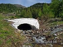
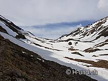
Now the sometimes quite steep ascent begins on the historic mule and pilgrims' path to the Scalettapass. There is still a lot of snow up here and the path is mostly not visible. At the beginning we manage to walk around a large snow field. Afterwards we are forced to put on our snowshoes. The coming ascent is extremely tiring, exhausting and nerve-racking. The snow fields are quite steep and the snow is very soft. We hardly find a hold with the snowshoes and slide down again and again. It takes an extremely long time to find the optimal path and to get ahead. We have to admit to ourselves that we will not reach our stage goal today. Moreover, the dogs are tired from the long walk and need a break. About one kilometre below the ridge we find at 6.20 pm a beautiful place with a great view of the surrounding mountains and down to the Alp Funtauna and pitch our tent here.
Today's stage was 21.6 km long with ascents of 1'095 m and descents of 118 m. Because of the snowfields on the Scalettapass we recommend not to hike this route until June. It should also be noted that the area around S-chanf and the Scalettapass is used for shooting practice. Information about the activity times can be found on various boards along the way.


