Lachen - Einsiedeln

| Length | Ascent | Descent | Minimum height | Maximum height | Approximate duration |
|---|---|---|---|---|---|
| 15.53 km | 768 m | 294 m | 426 m | 976 m | 4:30 h |
Claudia, Hansjörg and Ziva (from 15.06.18):
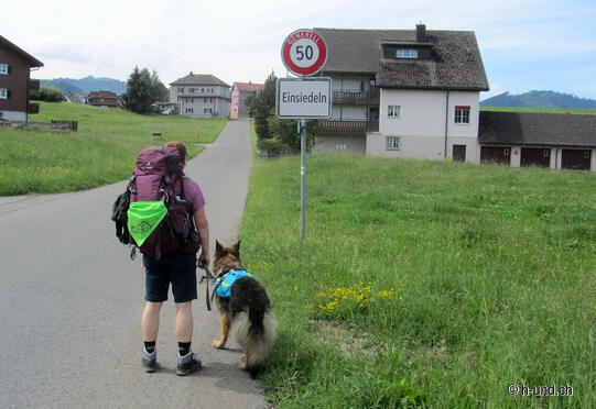
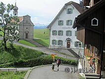
Again we enjoy a wonderful breakfast buffet this time at the Hotel Schiff. After packing we go back to the station. In the shop we buy our last lunch of this trip. We take the train back to Lachen. From Lachen we climb the St. Meinrad pass at the Etzel. This is again 520 height meters. On the way to the hamlet Bilsten we have a nice view back to the lake of Zurich. Just before the Etzelpass, at the Meinradsbrunnen, the paths of Rapperswil and Siebnen meet again. The good thing is that the path is not asphalted. The inn and chapel were worth the climb. The view of the two myths is magnificent. According to the description at the inn, you can also stay overnight there. But I did not find out if it is possible to stay overnight with a dog. Before we start the descent, we get a stamp at the inn again. Now we follow the asphalt road towards Tüfelsbrugg. There is also the birthplace of Paracelsus. On a footpath, through meadows with cattle and cows, we now descend leisurely. On a road we cross the Allmig plateau. The mountain panorama is overwhelming. Continue to the Galgenchäppeli, from where you can see the Sihl lake for the first time. You can also see the Einsiedeln monastery now. With our destination in sight, we hike a little more light-footedly on the asphalt road. Only Ziva has slowly had enough of hiking. Thanks to the spray for the balls of her feet she has no open paws yet. Arrived at the monastery, we stay a short time in the monastery church and thank her for the nice week. Then we got the last stamp. In front of the monastery we eat the sandwich we bought in Rapperswil and then we go to the train station. By train we travel back home.
Conclusion of our hiking week:
I am a bit disappointed with the course of the Way of St. James. The trail is not recommended in warm temperatures with dogs. But the different views and the different areas are worth a hike.
Length approx. 15.5 kilometresAscent 680 metresDownhill 270 metresHiking time 4 ½ Hours


